Before you get too confused, please note that this is a twin post. You can find the other one here.
As I’m finally moving out of East Kilbride and back to Scotland’s biggest city, it seems like time to write another post on Scotland’s biggest town – or rather, two connected posts. This year I’m doing a challenge with my friend Judy to walk 1,000 miles, while virtually travelling from Land’s End to John o’Groats. (I’ve just virtually passed through Ashby de la Zouch). As a result of that, I have to use Strava, an app that’s really aimed at runners and cyclers, so I can keep track of my mileage.
I soon started adding photos to my Strava walks to make them more interesting to my followers (or follower, as Judy was at that time) and naturally I chose the most picturesque shots and framings from my wanders. But then I got to thinking that this was not representative of East Kilbride at all. So I started taking other photos.
I realise that all towns and cities have their less attractive bits, but East Kilbride, bless it, has more unattractive bits than most. It’s a “new town”, built after the Second World War along with other beauties like Cumbernauld and Glenrothes. The town was built around three villages: the original East Kilbride village, Maxwellton village, and a third that I have never been able to discover. It’s also surrounded by some very nice countryside, notably the Calderwood Gorge. So to celebrate this admixture of the pretty and the pretty ugly, here are some of the photos taken on my Strava walks.
‘The Village’


Known simply as ‘the Village’, East Kilbride village is full of old buildings and cobbled streets.
Maxwellton Village
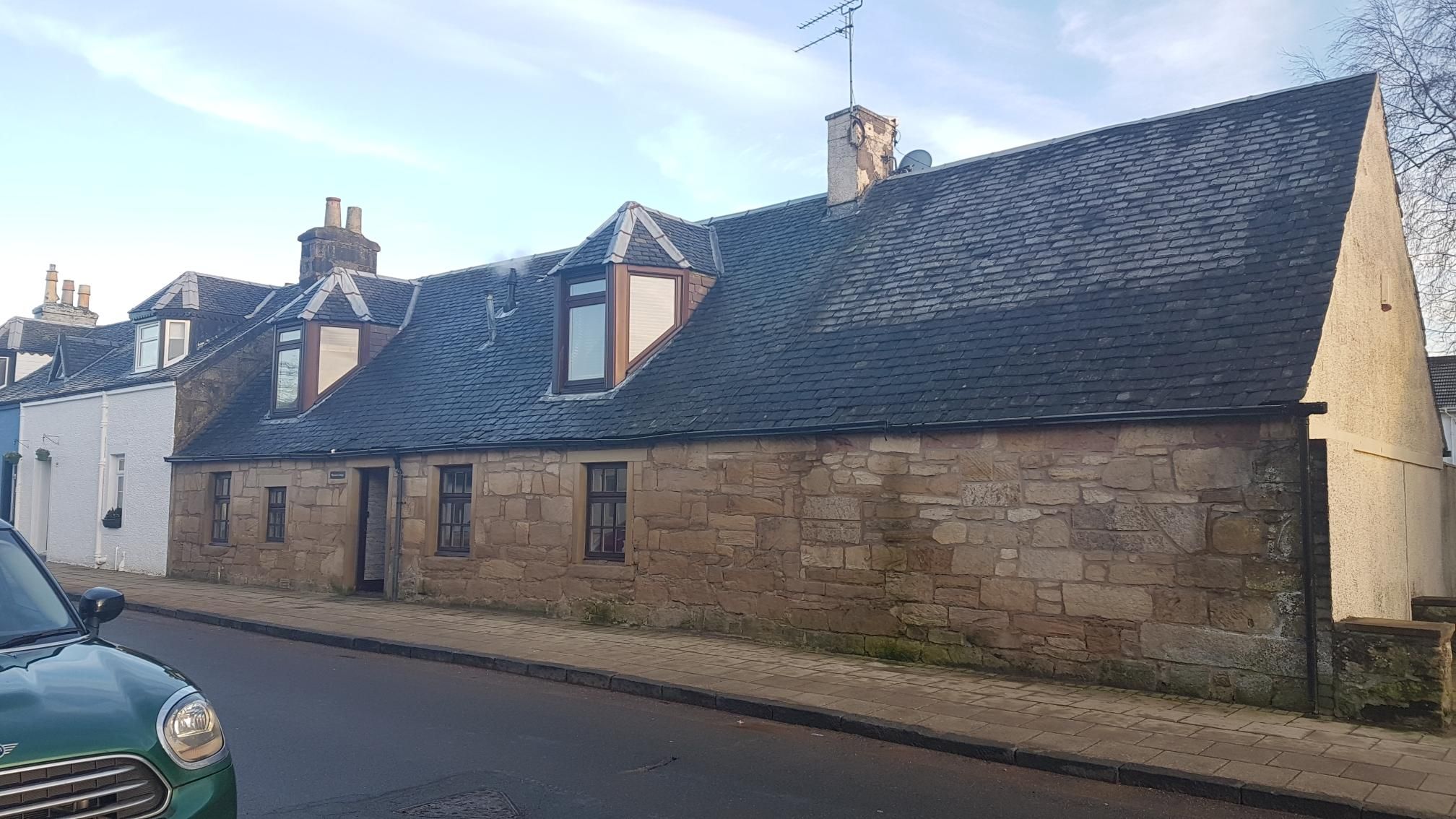
The old village of Maxwellton is home to charming workers’ cottages.
The embrace of nature


In East Kilbride, you are never more than five minutes away from nature, whether it’s a park or just a patch of woods and scrub land.
Byways and lanes

There are always short cuts to be found, and some of them are very pleasant.
Castles

Mains Castle looks impressive.
The view from Crookedshields Road

Where I often go for walks.
The Show Park


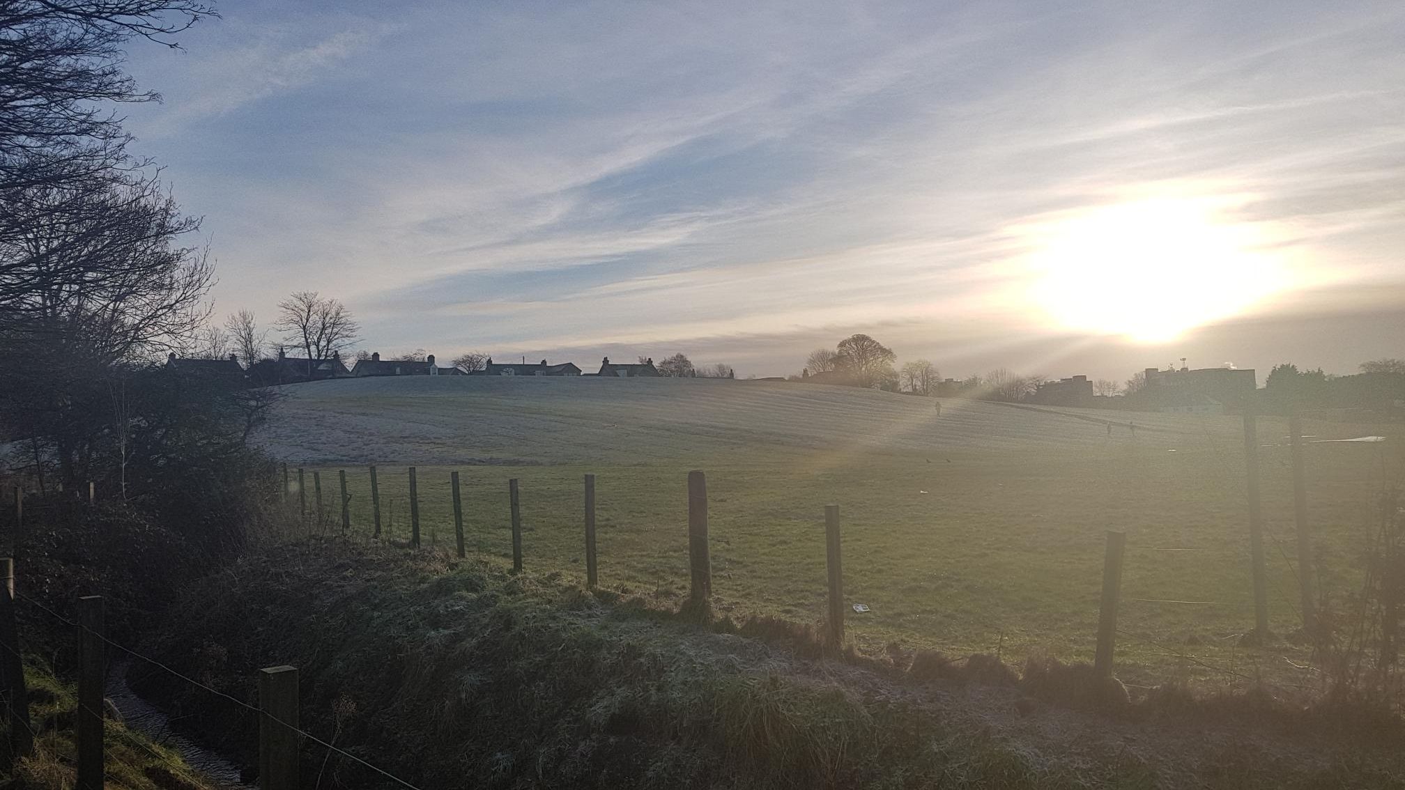
This glorified field is a great spot for outdoor activities, especially when it’s snowy.
Calderglen Gorge


This nature trail is beautiful.
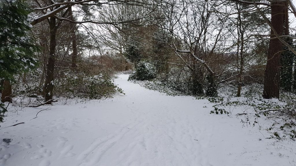
Snow!

East Kilbride gets a lot of snow (which is probably what I will miss about it) and of course everything looks lovely in the snow.
I hope you enjoyed this photo post (you probably did – this is the pretty one) but remember that it is only half the story!
To finish up, here’s an East Kilbride picture I made, rather than took. I realise the guinea pig’s back foot is a bit weird, but it’s my first go at a Strava picture, and I’m pretty happy with it. Now to make some more in Glasgow!


Leave a comment